Link between HAM Atlas and HAM OFFICE
1.
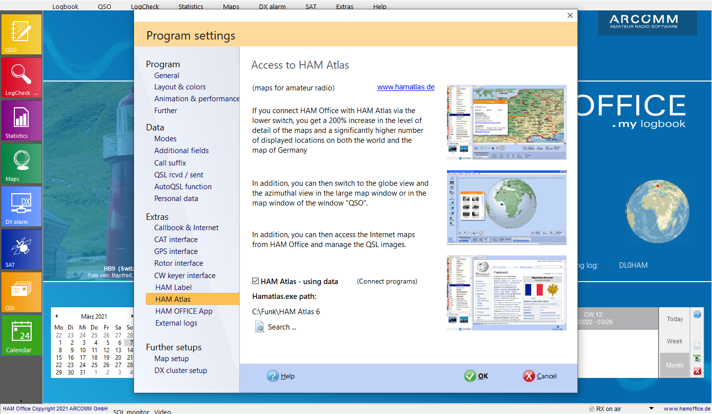
Connect both programs by ticking the option "HAM Atlas - Use data" in the HAM Office setup (menu "Extras - Program options"). Then press the "Browse" button and indicate where the HAMATLAS.EXE file is located. (File name differs depending on the version)
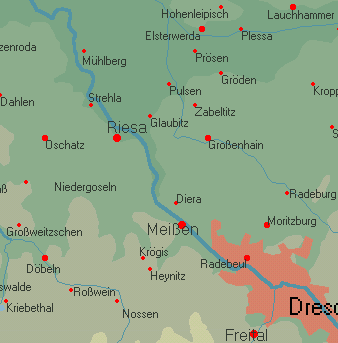
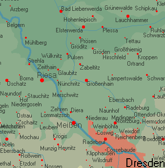
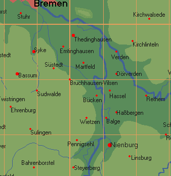
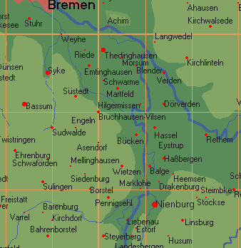
Pic above:2. At the highest zoom level, further locations are now displayed in the Germany map of HAM Office. The following pictures should clarify this.
Pic above:HAM Office without HAM Atlas
Pic above:HAM Office with HAM Atlas
Pic above:HAM Office without HAM Atlas
HAM Office with HAM Atlas
3.
Connection of HAM Office with the QSL management of HAM Atlas
3.1. Add scanned QSL cards to the HAM Atlas QSL management. Enter the callsign as the title of the scanned image.
(see also QSL administration )
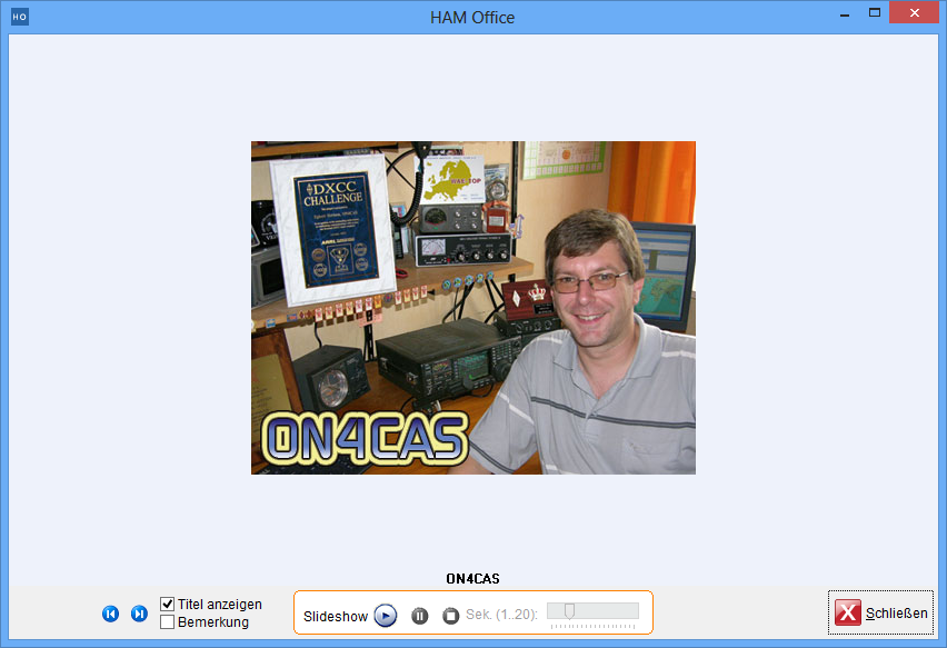
3.2 If you now enter a QSO in HAM Office and a scanned card for the callsign is available in HAM Atlas, this will be displayed in the QSO input window.
3.3 If you now press the switch, the HAM Atlas QSL window opens. (see also QSL management)
4. The IOTA function is not further described here. Since HAM Atlas knows the exact coordinate areas of IOTA islands and island groups, the display of the location of the remote station is very precise after entering an IOTA number. (see also IOTA)
5. Locator display: Another special function after linking the two programs is the display of the worked and confirmed locators on the world map in HAM Office. To do this, press the "LocStat" and "Loc" switches below the map after calling up a map. The worked and confirmed small fields are displayed on the world map. The color and shape of the display can be set in the HAM Atlas program under "Program options - general". There you can also print out the map. (see also locator statistics)
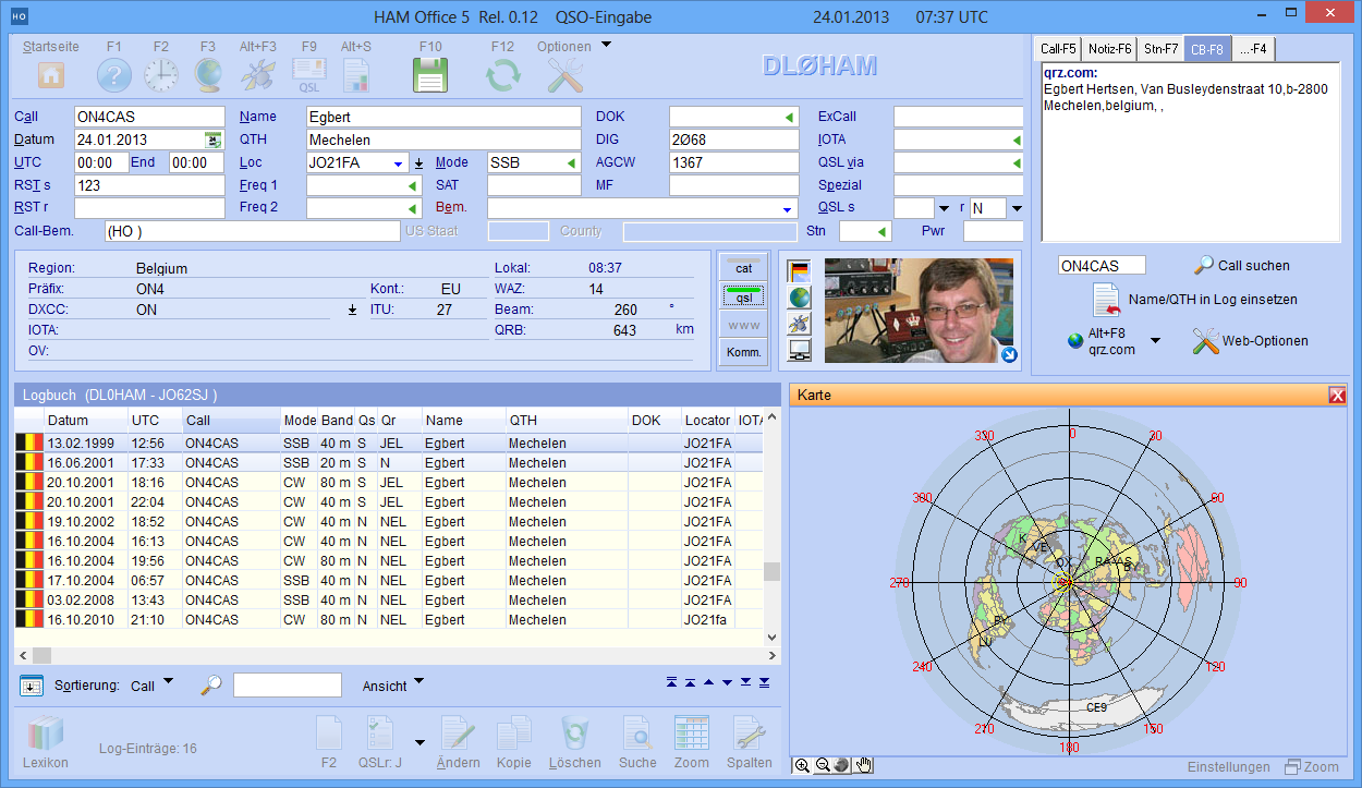
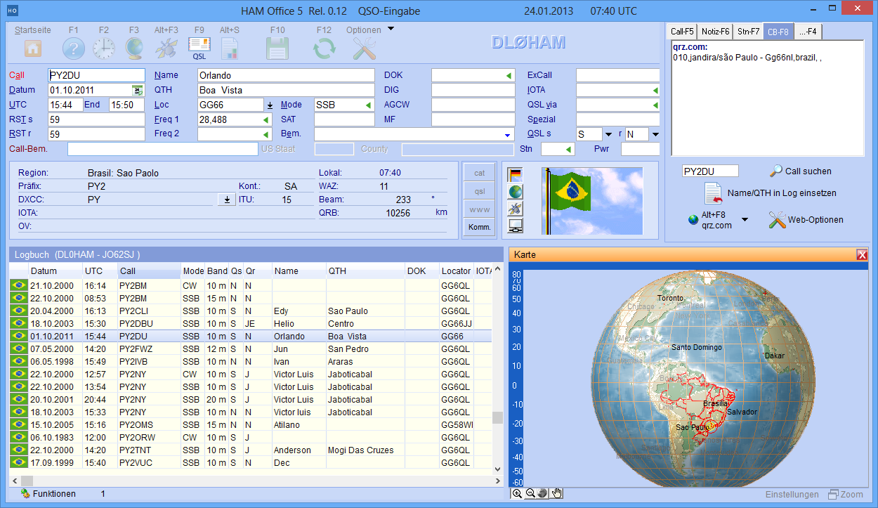
6. Azimuthal and globe view : Through the link with HAM Atlas you can also use the azimuthal and globe view of the earth in HAM Office. This is possible in the normal map window as well as in the small map window during the QSO entry. The locations are also displayed correctly there.
Pic above:azimuthal display of the map during the QSO input
(see also azimuthal display )
Pic above:Globe presentation of the map during the QSO input
(see also globe )
Further information on the topic:
News
hamatlas - 2026-01-157.4.0: Improvements to ADF and CSV log integration 7.4.0: Optimization of main memory usage
hamatlas - 2025-11-137.3.0: Improvements to collaboration with HAM OFFICE
hamoffice - 2025-09-257.3.0 LogCheck search overhaul and a blockage removed 7.3.0 Map search improvements (when connected to HAM Atlas)...
Information pages
AR SoftHAM Atlas links call sign, DXCC and locator information with the representation on the world map.
HAM OFFICE: Amateur radio maps: physical and political... many options for adapting the map. The world atlas can also be called up while entering the QSO. The location of the QSO partner is displayed in detail.
HAM OFFICE: New high-performance databases... the new databases, the old files from HAM Atlas 4 and HAM Label 4 or 5 can also be read.

 DE
DE 


