Amateur radio maps: physical and political
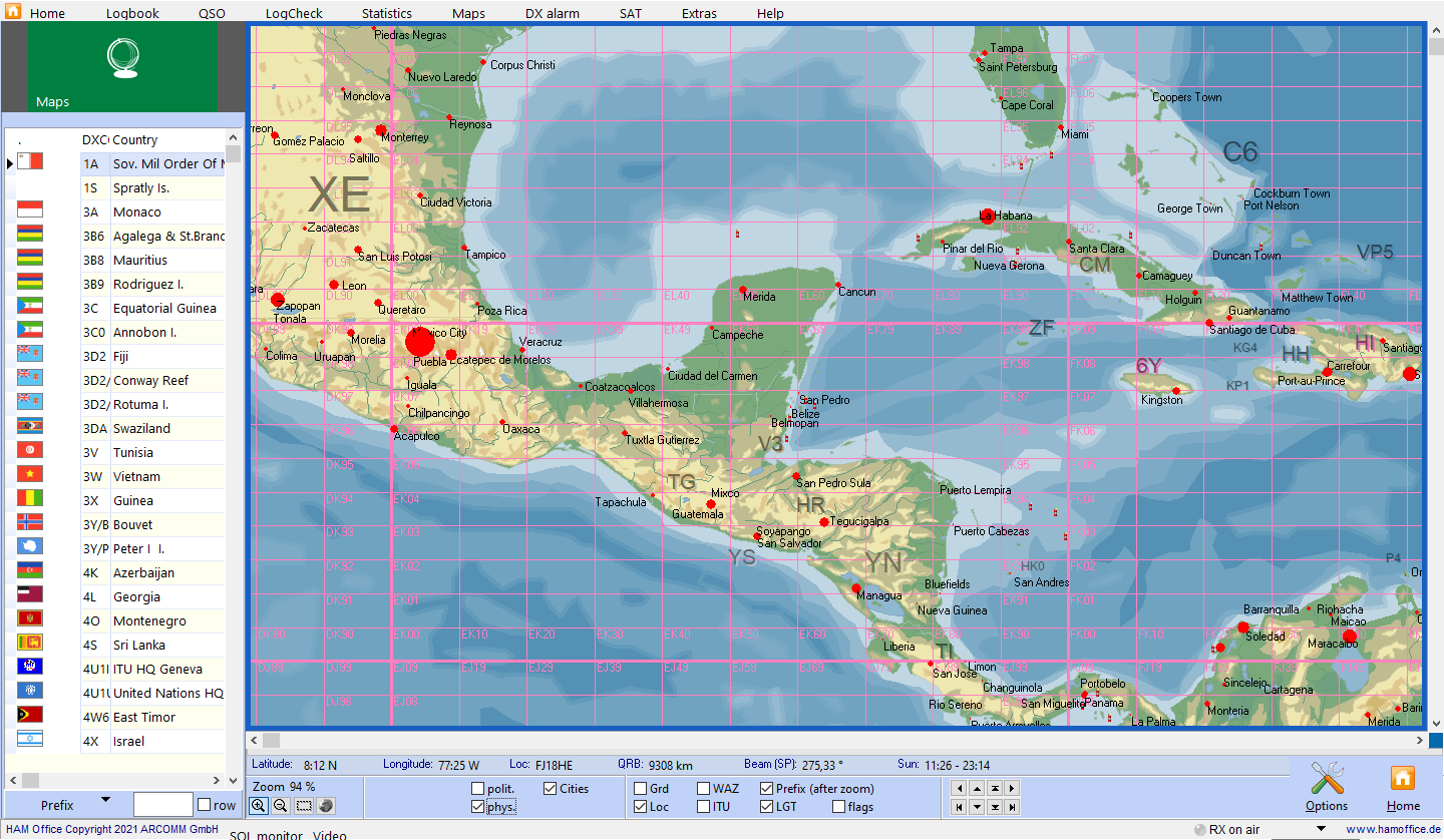
Pic above: physical view
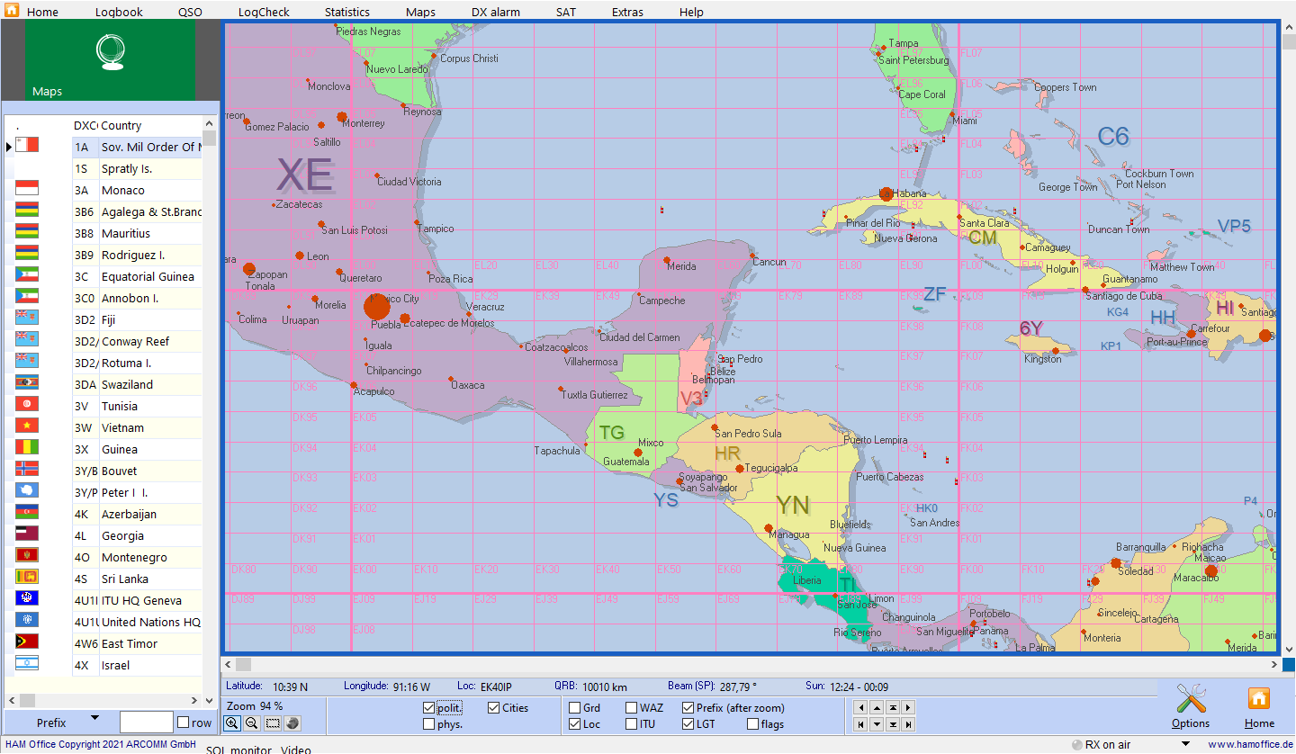
The maps are already accessible from the main menu. The list on the left shows DXCC countries and regions. After double-clicking an entry, the map is updated. In the lower part of the map there are many options for adapting the map.
The world atlas can also be called up while entering the QSO. The location of the QSO partner is displayed in detail.
Pic above: political view
The colors
can be set using the switch visible here in red. Several color palettes are available.
Further information on the topic:
News
hamatlas - 2026-01-157.4.0: Improvements to ADF and CSV log integration 7.4.0: Optimization of main memory usage
hamatlas - 2025-11-137.3.0: Improvements to collaboration with HAM OFFICE
hamoffice - 2025-09-257.3.0 LogCheck search overhaul and a blockage removed 7.3.0 Map search improvements (when connected to HAM Atlas)...
Information pages
AR SoftHAM Atlas links call sign, DXCC and locator information with the representation on the world map.
HAM OFFICE: New high-performance databases... the new databases, the old files from HAM Atlas 4 and HAM Label 4 or 5 can also be read.
HAM OFFICE: Link between HAM Atlas and HAM OFFICEGlobe presentation of the map during the QSO input (see also globe )
HAM OFFICE: Link between HAM Atlas and HAM OFFICEHAM Office with HAM Atlas
HAM OFFICE: Link between HAM Atlas and HAM OFFICEHAM Office without HAM Atlas

 DE
DE 


